The Jupiter Inlet Got Dredged This Spring. The Danger Moved Outside The Jetties.
September 17, 2026
September 17, 2026
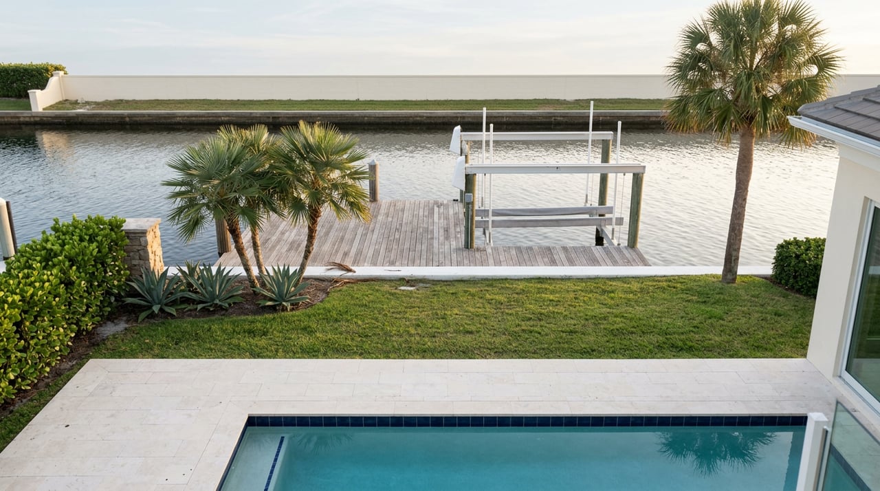
At low tide most afternoons, a strip of exposed sand appears on the Intracoastal side of Jupiter Inlet Colony, roped off and easy to miss if you're driving across Cato's Bridge. To residents, it's the best seat in a very small town. You stand ankle deep in warm water and watch center consoles, sportfishers, and the occasional sailboat thread the cut between the two jetties, close enough to wave.
This spring, that same channel went through two rounds of dredging. By late April, the Jupiter Inlet District had finished pulling sand out of it and was calling the project complete. Within days, a Jupiter fishing captain's video of the same water had circulated to more than 400,000 viewers, warning that conditions were as dangerous as he'd ever seen them.
Both things are true. The stretch the district dredged and the stretch the captain filmed are not quite the same water, and the gap between them explains more about how this inlet actually works than either headline does on its own.
The Jupiter Inlet District's 2026 Sand Trap Dredging and Beach Nourishment Project targeted one specific feature: a 6.58-acre sand trap sitting about 1,000 feet west of the inlet mouth, inside the jetties. The contractor, Atlantic & Gulf Dredging, worked in two phases this year, first from January 17 through February 15 and again from April 14 through April 26, removing roughly 176,000 cubic yards of sand and pumping it south to nourish the beach.
That's the district doing exactly what its charter says it exists to do: intercept sediment before it clogs the channel, move it onto beaches south of the inlet to fight erosion, and keep the inlet passable. It is a real, measurable improvement to the water inside the rocks. It is also, as the weeks after completion made clear, only half the picture.
Within days of the dredging wrapping up, Captain Tyler Baruch, a Jupiter native with 15 years running charters, posted a video of the inlet that drew more than 400,000 views and prompted a response from local officials. His warning wasn't about the sand trap the district had just cleared. It was about the water just beyond the jetty tips, where a shifting sandbar can catch a boat broadside in a following sea, flip it, and put people in the water in a spot with almost no margin for error.
Baruch also raised a pointed operational concern: the same sand the district pumped onto the beach as part of the nourishment work doesn't necessarily stay there. A decent swell can wash it back toward the inlet mouth, meaning the beach placement side of the project may be feeding the exact shoaling problem sitting just outside the area the district was authorized to fix.
The reason the district can dredge one stretch and not the other isn't budget or oversight. It's jurisdiction, and it traces back to how the inlet was set up over a century ago.
| Inside the jetties (sand trap) | Outside the jetties (ebb shoal) | |
|---|---|---|
| Who can dredge it | Jupiter Inlet District, under its founding charter | No agency currently holds standing authority here |
| 2026 project scope | ~176,000 cubic yards removed in two phases, finished April 26 | Not part of the 2026 contract |
| Federal channel status | N/A, inside district's own footprint | Jupiter Inlet is not a federally designated navigation channel |
| Comparable inlet | — | Lake Worth Inlet at the Port of Palm Beach, which the U.S. Army Corps of Engineers does maintain |
| Latest data | Nourishment and dredging confirmed complete | Bathymetric survey posted May 12, 2026, showing shifted depths |
The district's authority over this water goes back to its earliest recorded permit, issued April 20, 1922, which authorized dredging a channel and building two 400-foot jetties to keep the inlet open. Everything the district has done since, including this year's sand trap work, sits inside that original mandate.
The ebb shoal beyond the jetty tips has never been part of that mandate, and it isn't part of anyone else's either. According to WPTV's reporting, the U.S. Army Corps of Engineers has previously declined to designate Jupiter Inlet a federal navigation channel based on its benefit-to-cost formula, the same designation that lets the Corps maintain Lake Worth Inlet at the Port of Palm Beach on an ongoing basis. Congressman Brian Mast has confirmed that without that designation, the Corps can't simply send equipment to fix the outer stretch. Colonel Brandon Bowman of the Corps has said the agency is working with the district to help it secure additional permits, which is a longer process than a single dredging season can resolve.
None of that makes the district's spring work less real. It does mean "the inlet got dredged" and "the inlet got safer" are two different claims, and only the first one is currently backed by a finished project.
The district isn't standing still on the outer stretch. A bathymetric survey of the ebb shoal, completed May 1 and posted by the Village of Tequesta on May 12, shows depths shifting relative to mean lower low water, with the deeper channel moving southeast and readings marked at roughly 8 feet in the shallower areas and 10 feet in the deepest. The district has been explicit that this survey reflects conditions at the moment it was taken and isn't meant for navigation. Sand moves. What was true in early May may not hold by the time the fall boating season picks up.
For a community that treats the inlet as a front-row view rather than a commute, that distinction matters. The same water that looks calm from the Beach Club's shoreline or from the sandbar at low tide can behave very differently once a boat clears the jetty tips into open water, and the depth that mattered in May isn't guaranteed to be the depth that matters in October.
The Jupiter Inlet Beach Club at 244 Ocean Drive remains the town's gathering point, from its Fourth of July celebration and parade to the everyday rhythm of residents walking down to the water. That won't change because of a dredging report. What's worth carrying into the season is a more specific kind of awareness than "the inlet got dredged this year."
The sand trap is deeper. The 176,000 cubic yards removed this spring are gone, redistributed onto beaches to the south, and that work is done. The stretch just past the rocks, the one experienced captains are now flagging publicly, sits outside any agency's current dredging authority, and a permanent fix would require a federal channel designation the Corps hasn't yet granted. The district says it's pursuing that path. It hasn't arrived yet.
If you're on a boat here, or lending one to a guest who doesn't know the inlet the way a fifteen-year local captain does, the safest working assumption is that the improvement inside the jetties doesn't automatically extend past them. If you're watching from the sandbar, as most of Jupiter Inlet Colony eventually does at some point in a summer, it's worth knowing that the boats you're watching thread that cut are navigating water that's been surveyed, discussed, and only partly resolved.
Donna Hutchins has spent years working the waterfront details in communities like this one, from dock permitting to the kind of local knowledge that doesn't show up in a listing description. If you have questions about how conditions on the inlet affect a specific property or dock, her team at Donna Hutchins is glad to talk through what's actually happening on your stretch of water.
Donna’s clients have placed their trust in her to handle the sale of their most valuable assets - their homes. She goes above and beyond for all her clients, emphasizing building and creating lasting relationships. With over 20 years of success working as a top-ranked luxury agent in New Jersey and Florida.